For detailed information, including a map of the trail and further insights into the hike, please visit:
https://whatson.fo/hiking/hike/arnafjordur-nordtoftir?lang=en
There you’ll find everything you need to prepare for the hike and navigate the route safely.
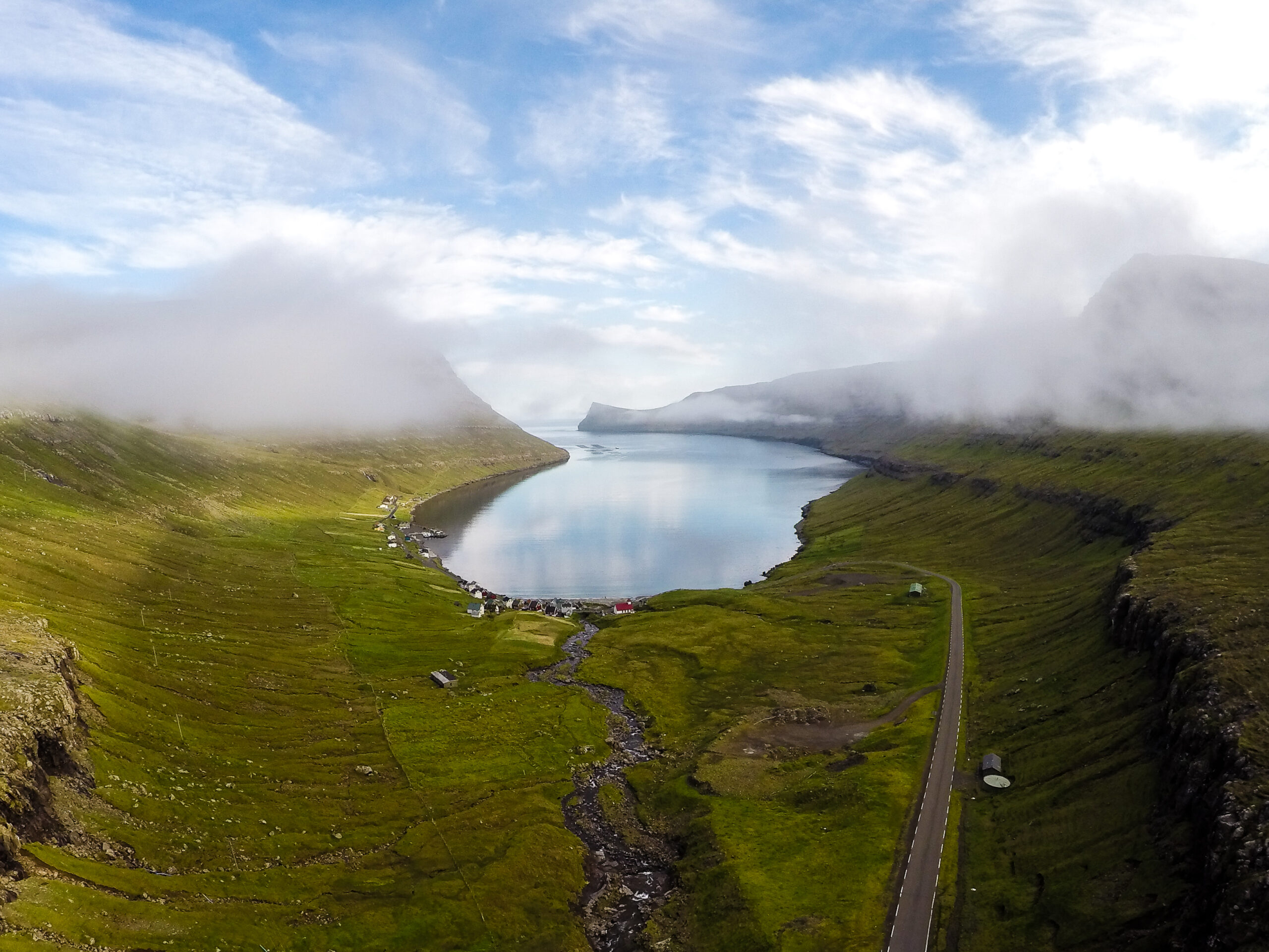
The hike from Árnafjørður to Norðtoftir is a peaceful journey through the dramatic mountain landscape of the Northern Isles. As you climb higher into the mountains, you are rewarded with increasingly impressive views.
When you reach the mountain pass Toftaskarð, a magnificent panorama opens up across the surrounding valleys and fjords.
The mountains in the Northern Isles are high, rugged, and awe-inspiring. Their steep rock faces and broad cliffs dominate the landscape, while vegetation becomes sparse near the peaks.
Parts of this hike pass through these rocky areas, which can make the terrain challenging—especially when descending through the pass Toftaskarð.
The trail begins in the village of Árnafjørður. From here, follow the path up a new lane that runs just west of the house located at Viðurbyrgi 23.
During the first part of the hike, the path is easy to follow. However, further up in the valley Svartadalur, the trail becomes less visible.
A few cairns help guide the way through the valley. The hike continues across Tólvmarkaknúkur, a large grassy knoll, and then follows the lower, middle, and upper paths through the rocky mountain slopes until you reach Toftaskarð.
The pass at Toftaskarð is very rocky. Because of this, the descent toward Norðtoftir can be difficult and requires caution.
During the rocky section, stay on the east side of the pass until the terrain becomes grassy again. From there, continue down east of Sjøt, following the path through the area known as í Kleiv all the way to the village.
As you approach Norðtoftir, you will pass through grazing land. There are no gates in the fences, so hikers must find suitable places to climb over them carefully.
Using a GPX file is recommended to help navigate the route through the outfields.
This hike can be taken in either direction.
It is also possible to walk only part of the route, for example up to the pass Toftaskarð, where you can enjoy the spectacular views before returning.
Another option is to continue from the pass toward Katlarnar, the ancient thingstead of the Northern Isles. From there, hikers can follow the path through Áarskarð and descend toward the road between the tunnels near Klaksvík.
