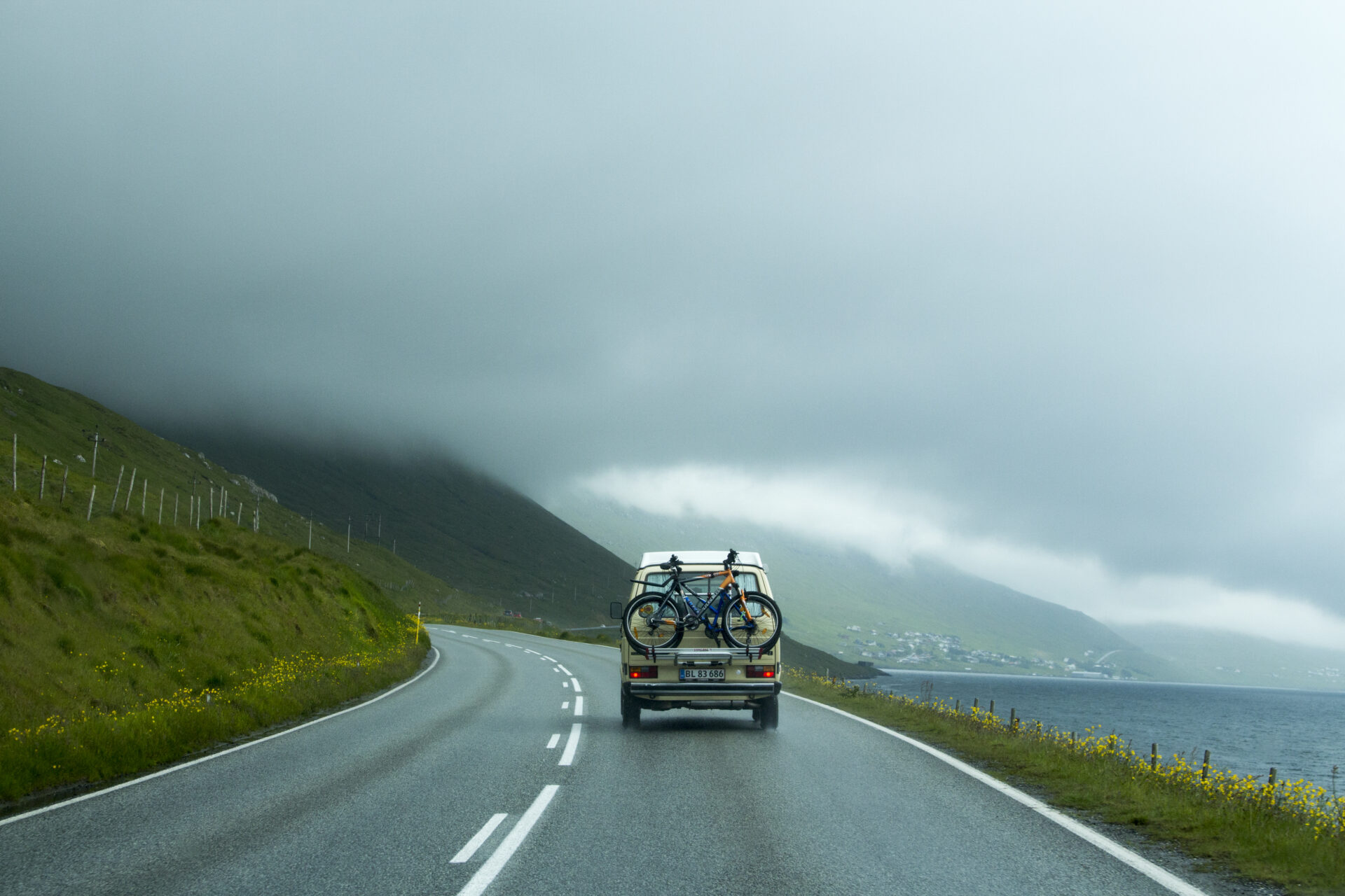
When exploring the Faroe Islands, having the right maps makes all the difference. With 18 islands connected by bridges, subsea tunnels, mountain roads, and ferry routes, distances may appear short — but terrain and weather conditions can affect travel time. Reliable maps help you plan efficiently and travel safely.
Visit Faroe Islands provides a range of official downloadable maps, including:
These maps are ideal for trip planning and can be downloaded in advance for offline use — especially helpful in remote areas where mobile coverage may be limited.
In addition to national maps, you can also find regional materials through Visit North.
On the Visit North website, you’ll find official brochures from Visit Faroe Islands and locally produced guides and maps. These local maps and guides are especially useful for exploring Klaksvík and the Northern Isles in greater detail.
Browse and download available materials here:
https://visitnorth.fo/brochures/
Whether you’re planning a road trip, travelling by public transport, or hiking in remote landscapes, combining official Faroe Islands maps with local guides ensures you have both the big overview and the detailed regional insight needed for a smooth and enjoyable journey.
