Múli to Lambagjógv – In the Footsteps of Guttormur
For detailed information, including a map of the trail and practical hiking details, please visit:
https://whatson.fo/hiking/hike/muli-lambagjogv?lang=en
There you’ll find everything you need to prepare and navigate the route with confidence.
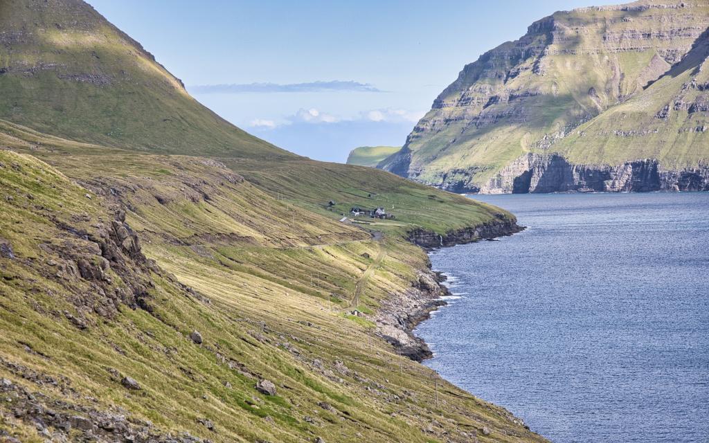
This historic hike begins in the ancient village of Múli, located at the north-eastern tip of Borðoy. The setting is both dramatic and peaceful. Although no permanent residents remain — the last left in 1992 — the village still sees activity. Farmers tend sheep, and visitors explore the area. The four original houses now serve as holiday homes.
Múli is one of the oldest villages in the Faroe Islands. It appears in Hundabrævið (The Dog Letter), a legal document from the 14th century. During the Black Death around 1347, villagers quarantined the sick in the valley above the settlement. They built a small structure called Tobbabúð high on the slope beneath the hill Enni. Nearby stands the large boulder Húsbøsteinur, where food was left for the sick. According to legend, a rock troll lives within the stone.
Múli is also linked to Guttormur of Múli (1657–1739), a man said to possess magical powers. Many tales surround him. Perhaps that is why the village still feels slightly enchanted.
The village landing, Inni á Støði, lies just over one kilometre south of Múli. Up to three boats once rested in its boathouses. Some of these structures remain, along with rollers and a windlass used to haul boats ashore.
To begin the hike, park at the large parking area by the river Klivsdalsá. Walk 350 metres north to the lower road leading to the landing. From there, continue 400 metres down to the end of the road, where the historic village path begins.
This path was vital for survival. Northern winds often made landing by boat impossible. During heavy surf, the path served as the only connection to the outside world.
As you continue south toward the gorge Ærgdalsgjógv, you will pass a large square cairn. Four such cairns once guided travellers to the village of Norðdepil. Only two remain today — this one and the cairn near Lambagjógv. The others were dismantled during road construction.
Along the way, you’ll see steep cliffs above the valleys of Klivsdalur and Ærgisdalur. Across Hvannasund, the village of Viðareiði sits beneath towering mountains.
Approaching Lambagjógv, pass above the gorge. Just south of it, you’ll reach the second remaining cairn. From here, continue up to the road. The final stretch toward Norðdepil runs mostly just below the road, except for the first 300 metres north of the river Fossá.
The hike ends above Lambagjógv, where a large parking area is available.
About one kilometre north of Fossá, near the river Lítladalsá, stands a striking slender rock formation. From the road to Múli, follow the fence along the south bank of the river to reach it. This hidden landmark makes a worthwhile detour.
This hike combines history, legend, and breathtaking scenery — truly a journey in the footsteps of Guttormur of Múli.

 9°C
9°C
