Svínoy covers an area of 27.35 km², making it more than twice the size of nearby Fugloy. The island’s highest point is Havnatindur, which rises 586 metres above sea level. To the north, Fugloyarfjørður separates Svínoy from Fugloy. To the west, Svínoyarfjørður lies between Svínoy, Borðoy, and Viðoy.
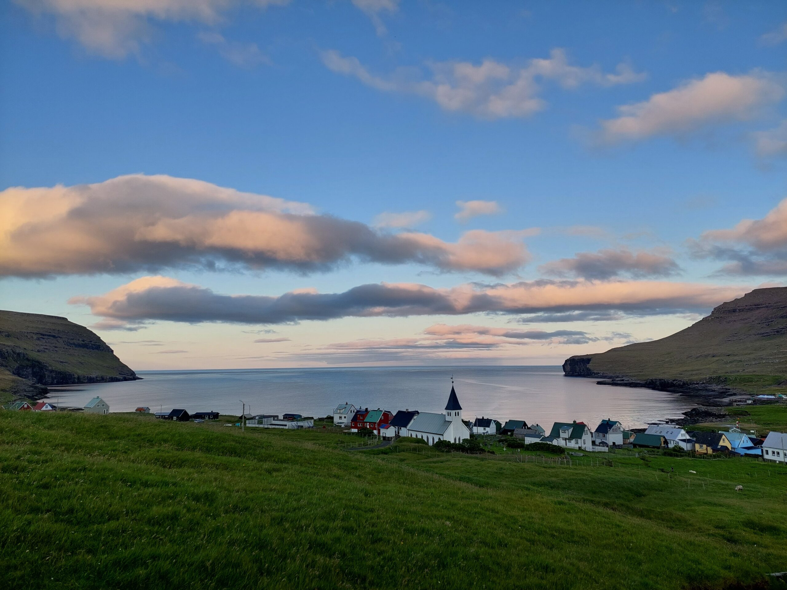
The island’s only village, Svínoy, dates back many centuries. It is mentioned as early as 1220 in Færeyingasaga. The village lies just north of the island’s centre and faces Svínoyarvík to the east, where a landing site is located.
A second landing site with a small quay can be found on the western side of the island. However, landing conditions can be challenging, especially during winter when the weather is harsh.
Today, Svínoy has a small population. In 1966, 117 people lived on the island. By 2020, the number had decreased to 31 residents. Since 2009, Svínoy has been part of Klaksvík Municipality.
Life on Svínoy remains closely connected to nature. Sheep farming plays an important role, with nearly 1,000 sheep grazing across the island. The land is divided between copyhold and freehold farms, reflecting traditional Faroese farming structures.
In recent years, new activities have developed. In 2020, a former salmon smolt facility was converted to farming lumpsucker, which supports the Faroese aquaculture industry.
You can reach Svínoy by ferry from Hvannasund on Viðoy. The ferry also connects to Fugloy. In addition, a helicopter service provides access to the island, making it possible to visit even in more remote conditions.
Svínoy has a long cultural history. The village has had a church since at least 1592. The current church, built in 1878, still stands today. A school building was established in 1880, although the village no longer has active pupils.
Source: Trap.fo
